Petroleum Prospecting Licence 435 – Kina Interest 100%
Kina holds a 100% interest in this licence.
Location and Infrastructure
PPL 435 covers and area of 5713 km2 onshore and is located within the foreland of the Western Province. It is approximately 40km south-west of PRL 21 and has Fly River access with the river Port Aiambak located in the south.
Geology
PPL 435 overlies the Lake Murray High. The Elevala and Toro reservoirs onlap the Murray High, but a prospective Cretaceous Sandstone was intersected in Lake Murray 2 on top of basement. A fairway of good quality early Cretaceous reservoir is interpreted to extend over most of the licence area.
Other reservoirs within PPL 435 include the Darai carbonates. A gas flow in Lake Murray 1 from basal Cretaceous sandstone confirms gas migration as far south as Lake Murray and gas shows within the Darai Limestone also high grade these carbonates as an exploration target.
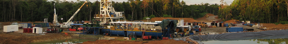
Previous Exploration
Reconnaissance seismic surveys were acquired along the Fly and Strickland Rivers in 1970-71. This was followed by the Lake Murray survey in 1972-73. Two exploration wells Lake Murray-1 and -2 were drilled by Conoco in 1973. Lake Murray-1 flowed 284,000 cubic feet of gas per day from a two metre thin sandstone in the Juha member of the leru Formation and significant gas shows in the shallower Darai Limestone offer encouragement for this play also. Lake Murray-2 confirmed a Cretaceous sandstone reservoir on basement with a thickness of 43m.
Proposed Exploration
Kina’s recent quarterly, half yearly and annual reports provide a summary of the exploration and evaluation work currently being undertaken in these licences.